Google Earth Engine · Satellite time series
Platforms
Using Google Earth Engine infrastructure and various programming tools, I develop open-access sample and research platforms for geospatial analysis and environmental monitoring.

Google Earth Engine · Satellite time series
Using Google Earth Engine infrastructure and various programming tools, I develop open-access sample and research platforms for geospatial analysis and environmental monitoring.
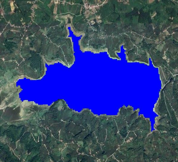

Using high-resolution Landsat satellite data from 2013 to present, this platform detects water surfaces and analyzes their changes over years, designed to monitor environmental changes and water resource dynamics.
View Platform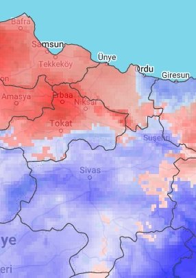

This tool utilizes NASA satellite imagery to calculate drought values between 1958 and 2023 using the PDSI method. PDSI measures long-term meteorological drought by evaluating soil moisture conditions.
View Platform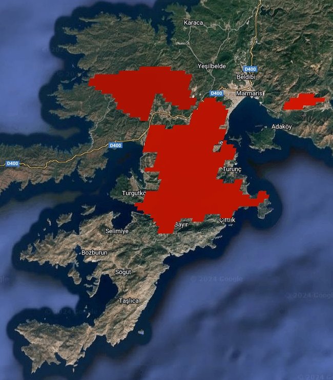

Developed using MODIS satellite data, this application allows examination and comparison of MODIS fire data between specified dates, helping in fire risk assessment and management.
View Platform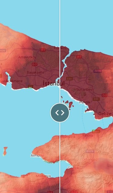

Using ESA Sentinel-5 TROPOMI data, this application visualizes NO2 pollution levels across Turkey, offering the ability to compare current monthly average pollution values with the same period last year.
View Platform