Web map applications
Applications
Map-based applications I have developed for web and mobile platforms. All applications are free and open to everyone.

Web map applications
Map-based applications I have developed for web and mobile platforms. All applications are free and open to everyone.
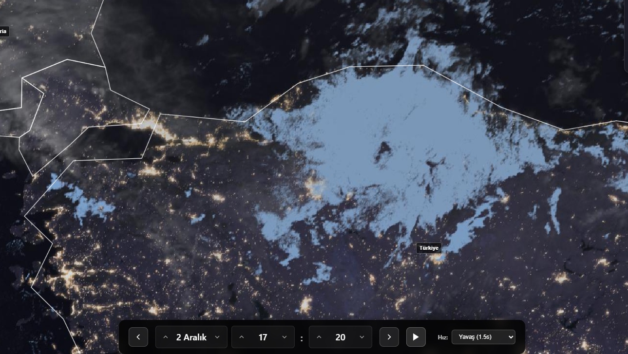
A professional mapping system developed for real-time satellite imagery and cloud tracking. Using satellite data from EUMETSAT and NASA, it provides weather monitoring, cloud movement tracking, and environmental observation capabilities. The system delivers current data with high-quality images from Meteosat Third Generation (MTG) and NOAA-20 satellites, with 10-minute update intervals.
You can switch between different layers such as GeoColour RGB, Fog/Low Clouds RGB, and VIIRS imagery, and examine past and current images through the timeline. This system, which can be used in fields such as meteorology, aviation, agriculture, and environmental monitoring, enables professional analysis with its interactive map interface and user-friendly controls.
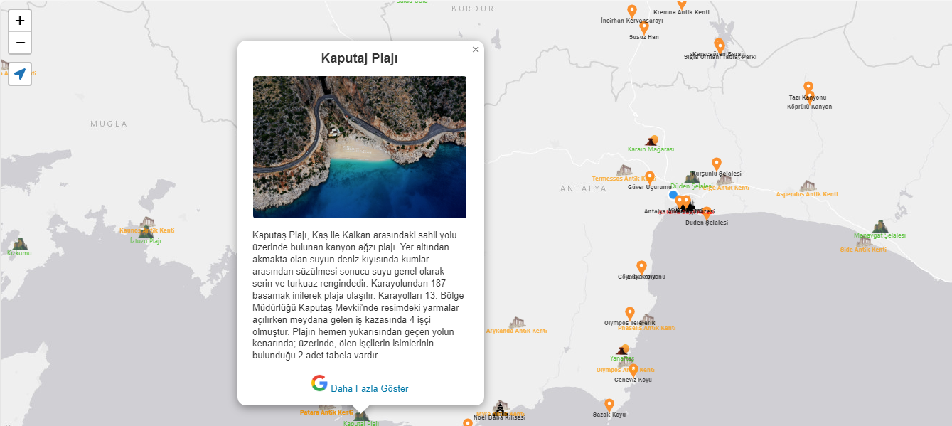
Meet an interactive map guide designed to explore Turkey's unique historical and natural beauty. Powered by Geographic Information Systems (GIS) technology, this application makes your travel plans easier and more enjoyable. You can explore many places from historical sites to natural parks, beaches to museums, and easily create routes on the map.
This application for travel enthusiasts is an essential digital tool featuring rich content and visuals. During your vacation or travel planning, it will help you find the best routes and locations and make your travels unforgettable with modern mapping techniques and a user-friendly interface!
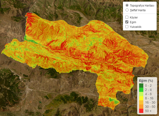
Orcul Information System is a sample Geographic Information Systems (GIS) application prepared for Orçul and its surroundings. Village locations together with elevation, slope, and aspect layers can be explored on an interactive map.
It is a freely accessible study showing how terrain analyses derived from a digital elevation model can be presented on a web map.